User manual
Tips and tricks
Fine‑tuning Ordnance Survey selection at the England–France boundary
What’s happening
In a small area of the English Channel, selecting Ordnance Survey makes the button flash but the map doesn’t change. The issue occurs around 20 km off the coast between England and France, and only at certain zoom levels.
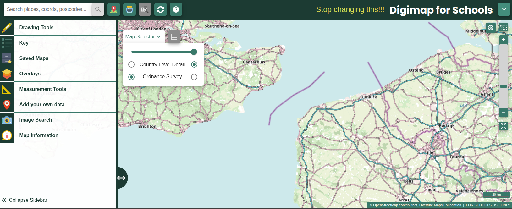
Tip for how to fix it yourself (workarounds)
Move the map slightly towards England or France, then select Ordnance Survey again. Or zoom in or out and try again.
Printing maps that cross the antimeridian (180° E/W)
What’s happening
If your map view touches or crosses the antimeridian, the Print preview can show a white gap and the printed map may include only one side of the line. This most often affects world‑scale views, such as the Pacific and the Ring of Fire.
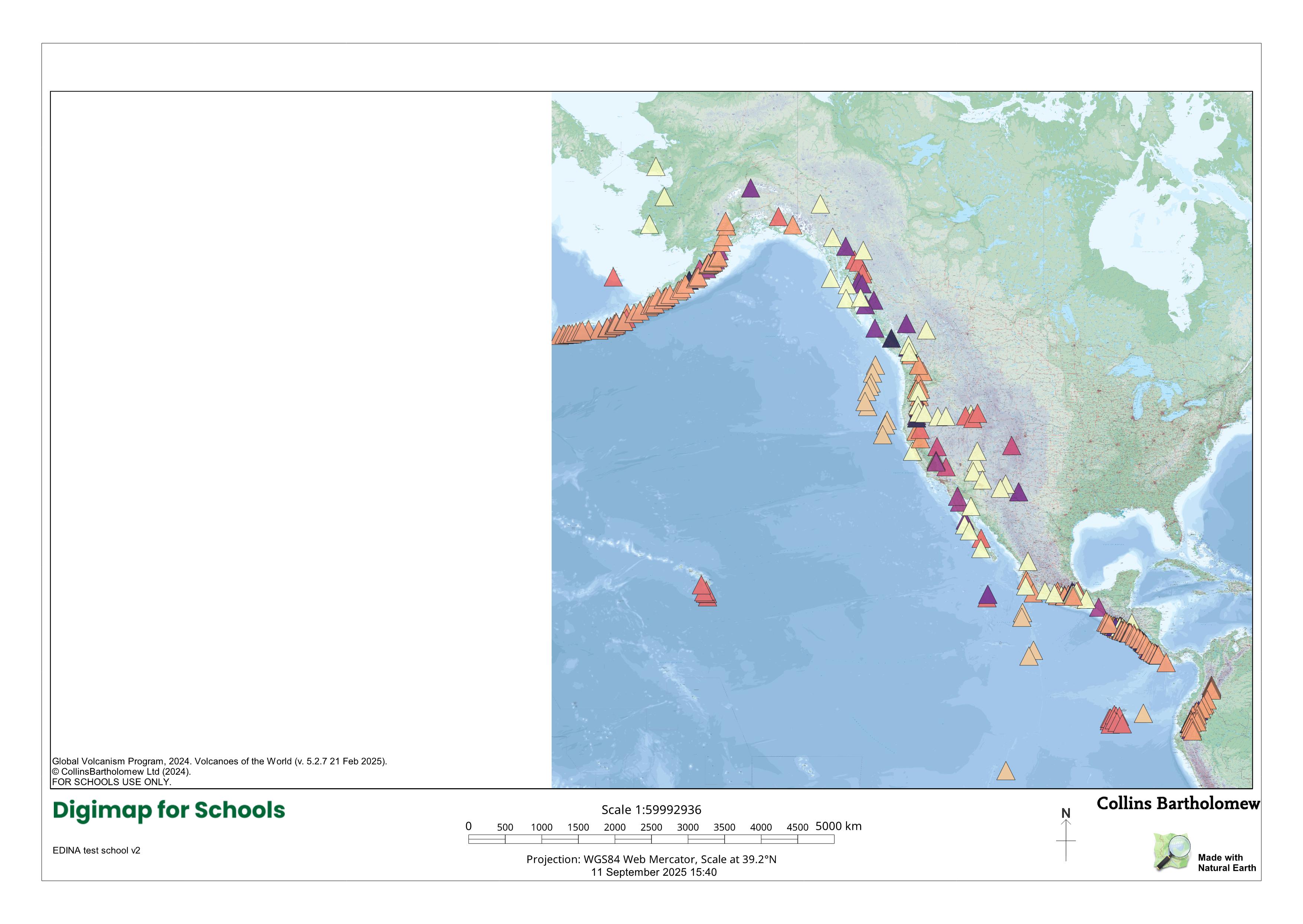
Tip for how to fix it yourself (workarounds)
If you want the map to wrap across the antimeridian, choose Screenshot, then Print. If you prefer to use Print (not Screenshot), pan the map so the antimeridian is just off the edge of the view, then print. For whole‑world maps, use Screenshot and Print to keep your current view without a white gap.
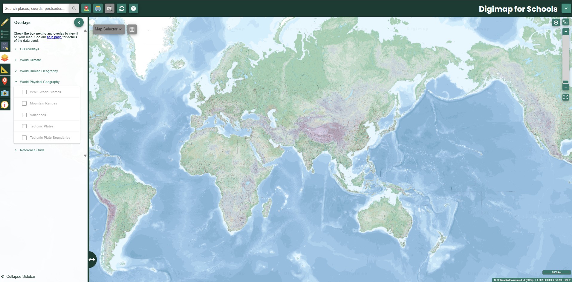
Restoring world overlays after lots of panning
What’s happening
After moving the world map around multiple times, the world overlays can appear greyed out or seem to disappear.
Tip for how to fix it yourself (workarounds)
Click the four‑arrows button (below the zoom bar) to reset the view. The overlays will appear again.